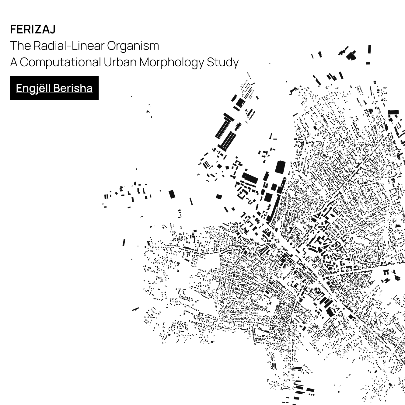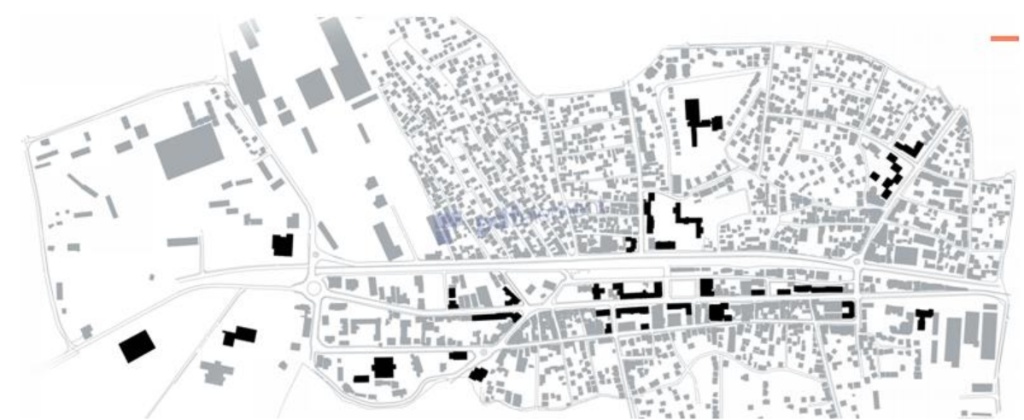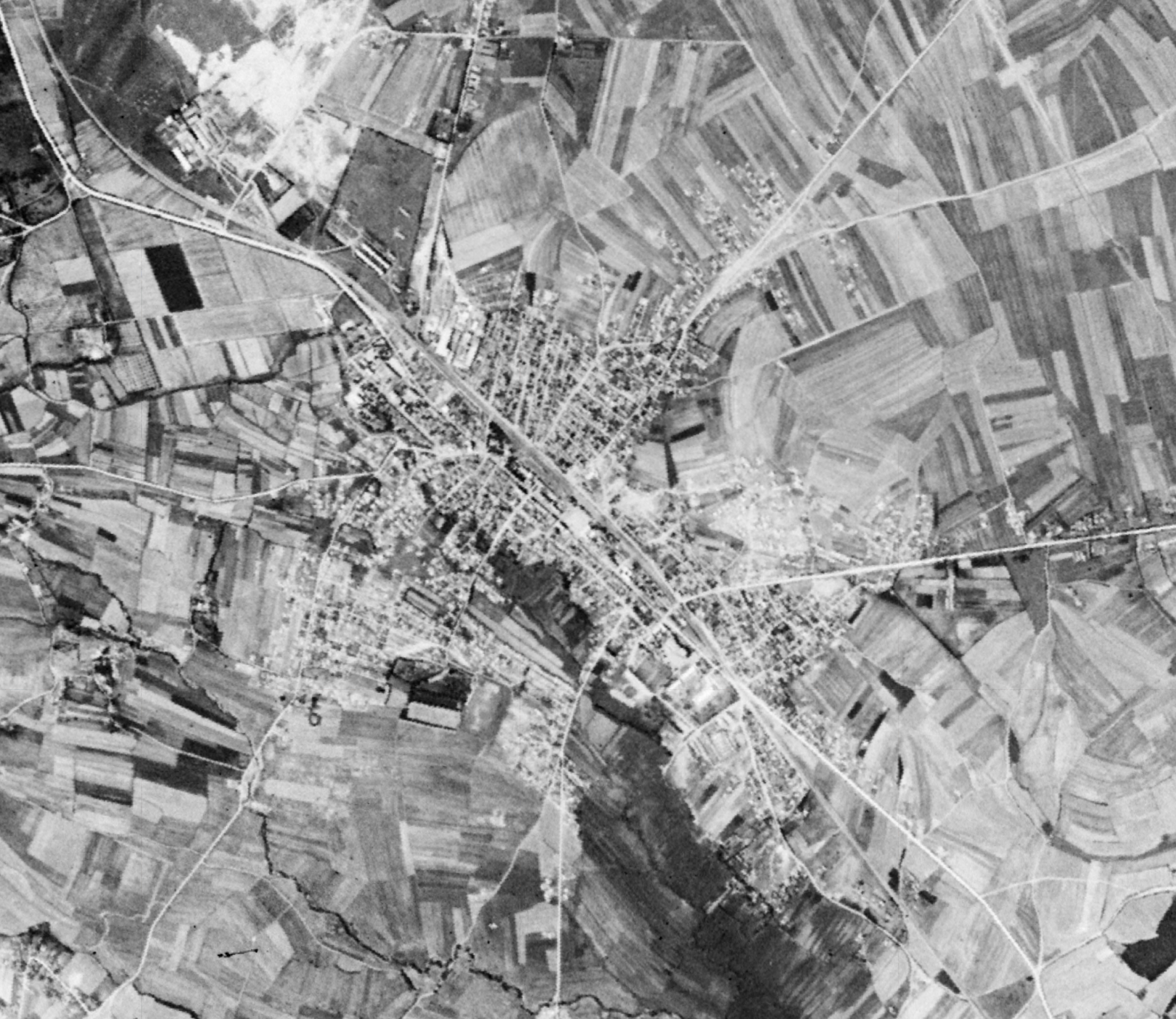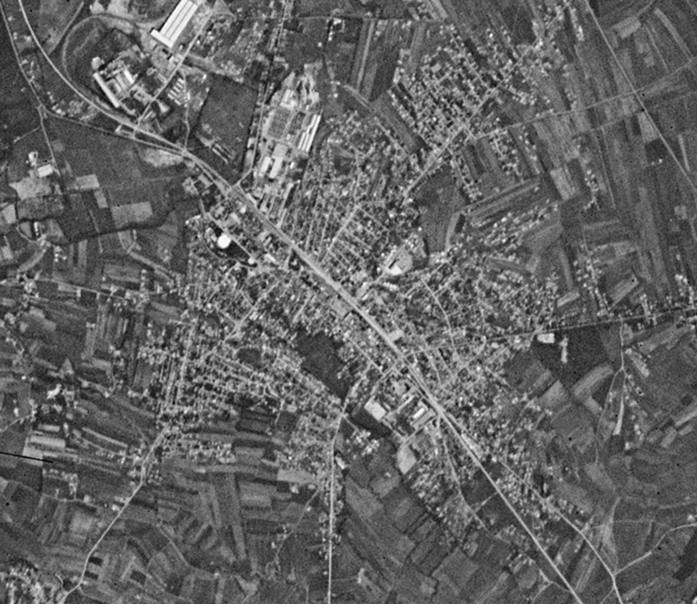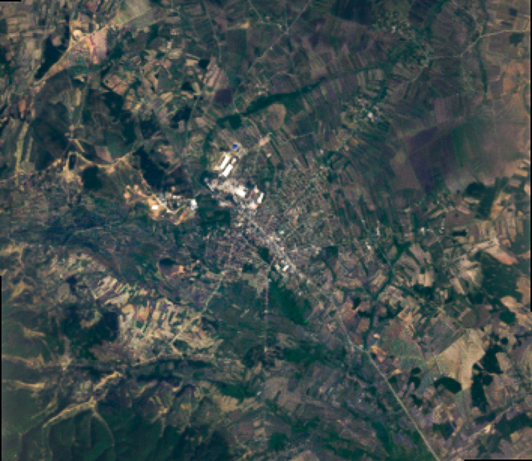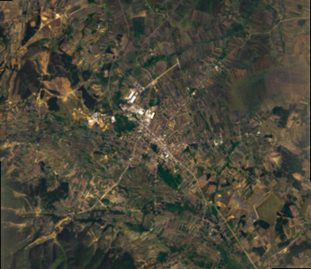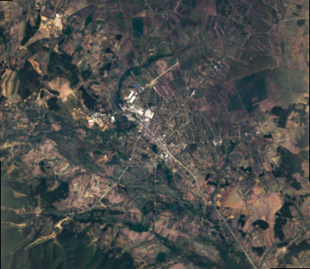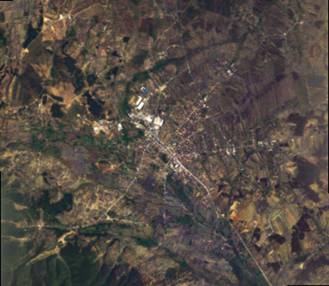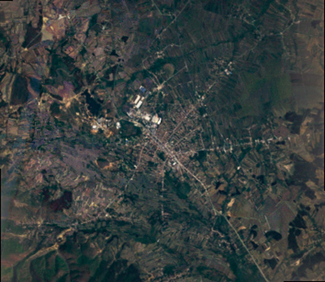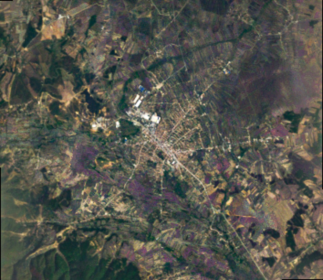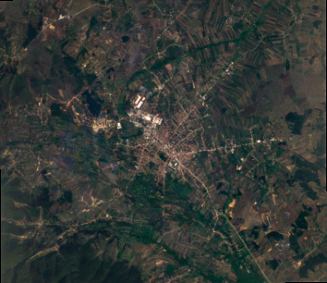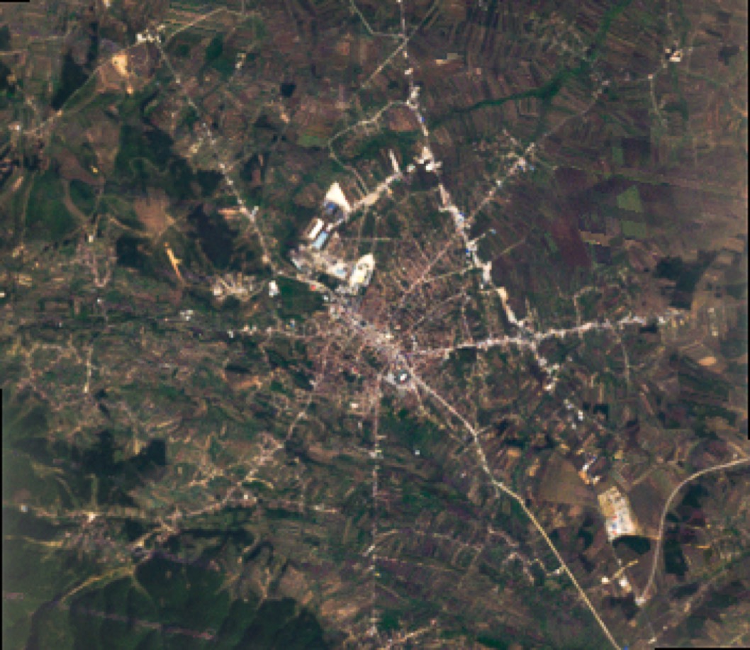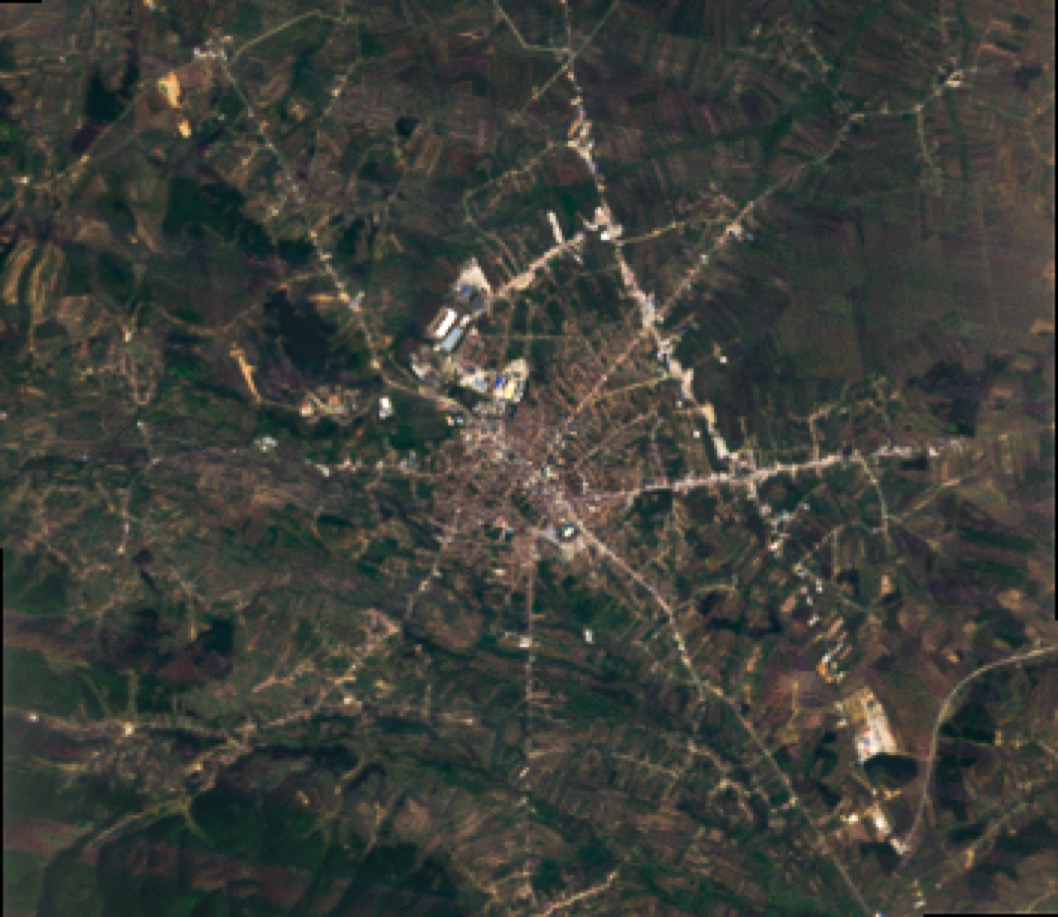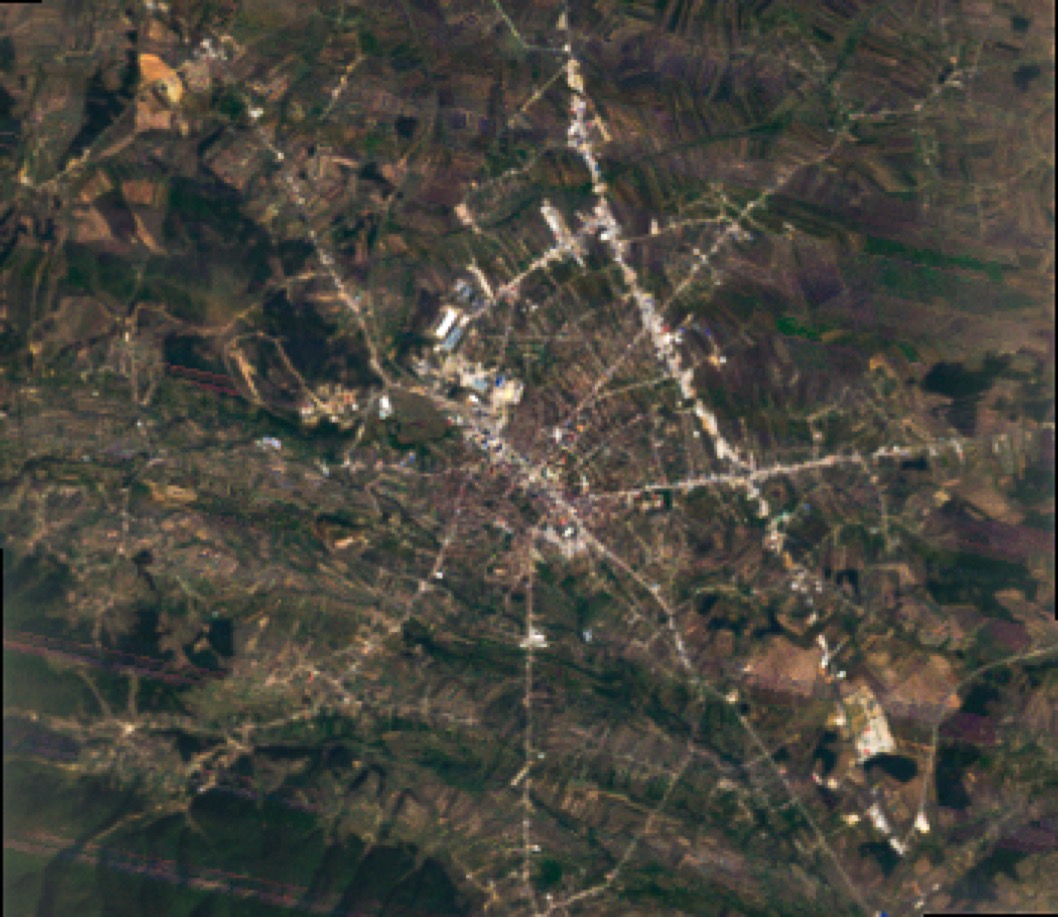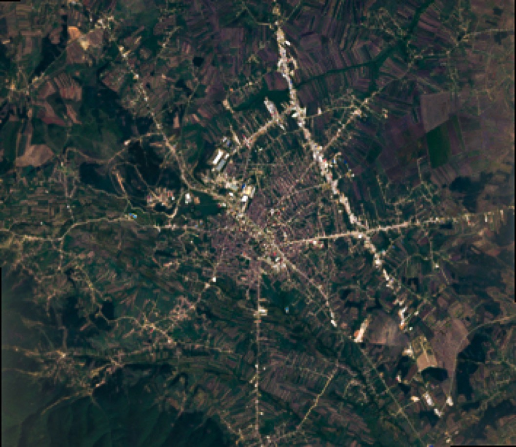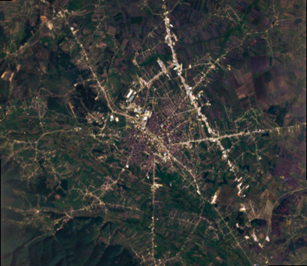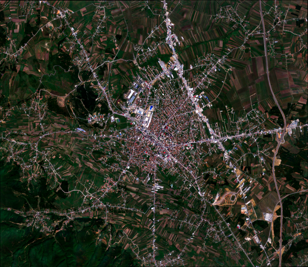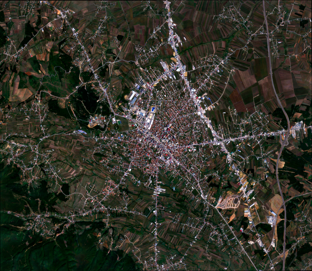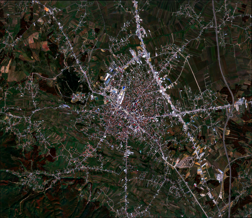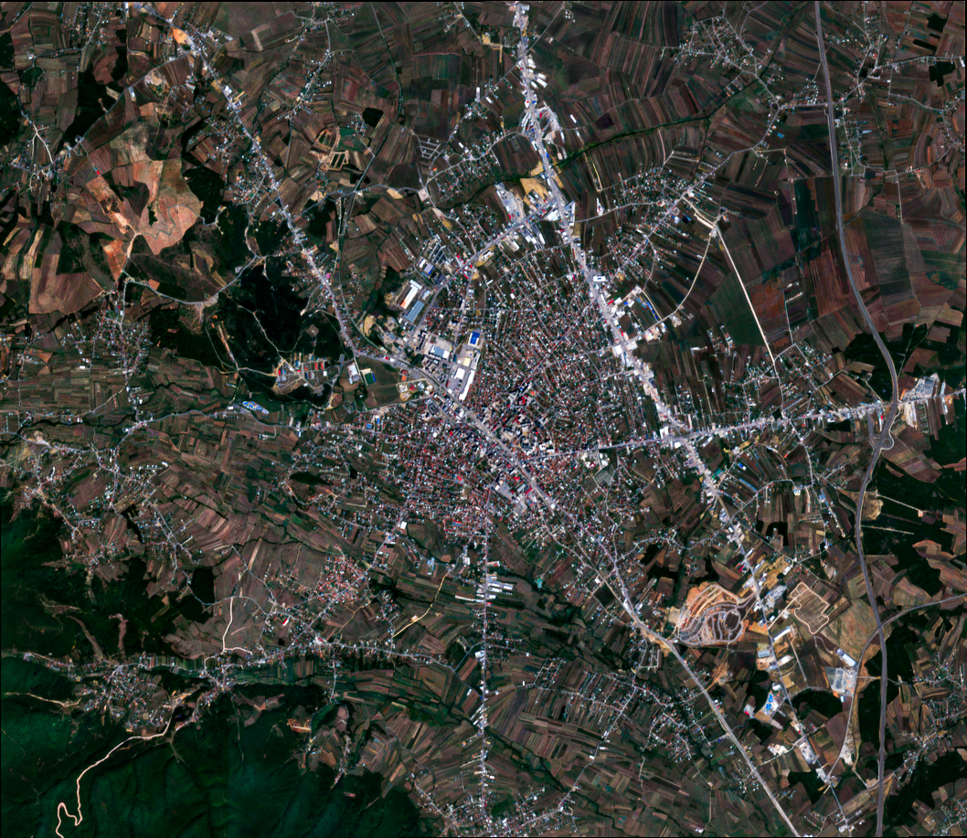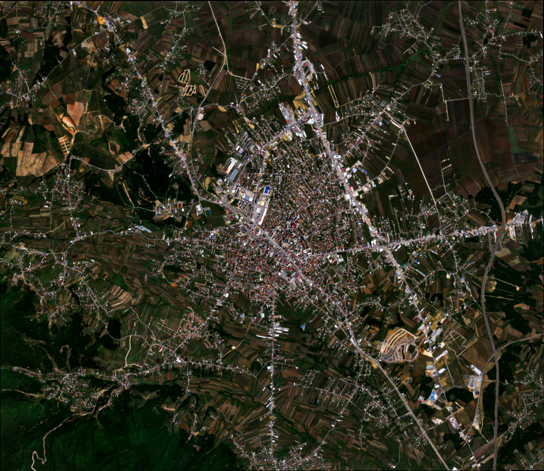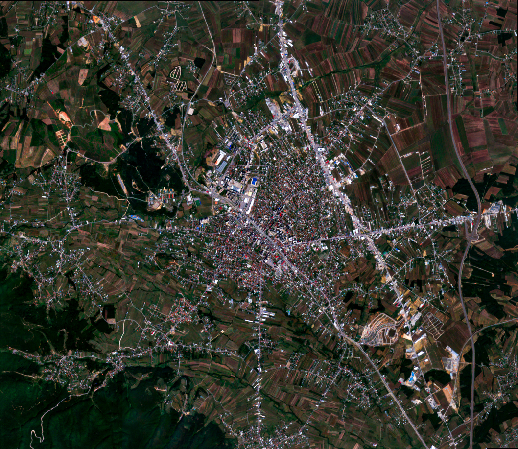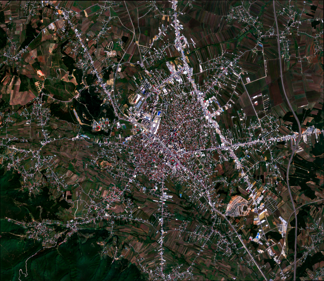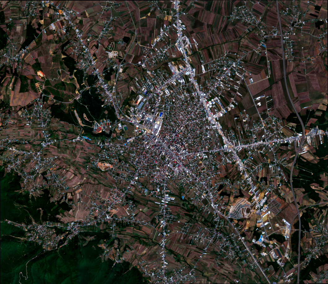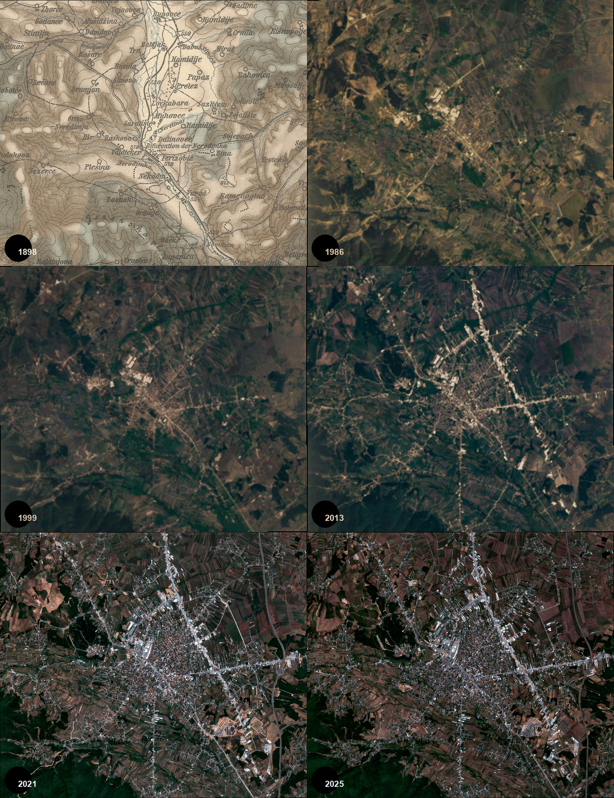
This online version presents the interactive companion to Ferizaj: The Radial-Linear Organism, a computational urban morphology study of Ferizaj, Kosovo. The study reads the city as a radial-linear organism shaped by railway infrastructure, arterial expansion, and rapid post-war densification.
The fixed PDF functions as the archival publication, while this page allows the analytical figures and maps to be explored at higher visual quality. Click a figure to open the research sidebar with method, parameters, and architectural reading.
Archival publication DOI: 10.5281/zenodo.20076658
Official English version of the study.
Adapted Albanian translation of the original published study; not a separate publication.
Figures
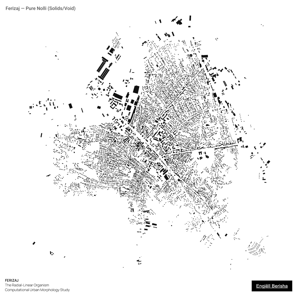
01 Nolli Pure
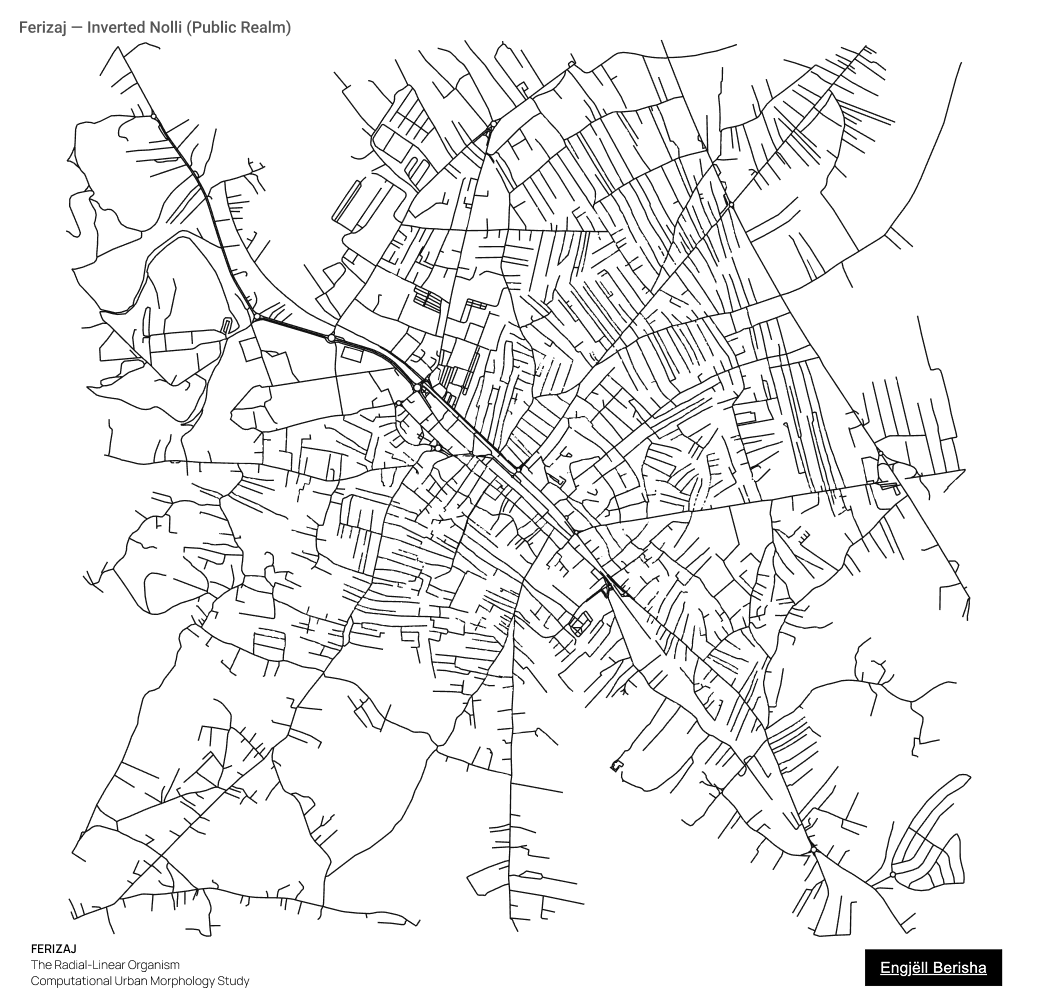
02 Nolli Inverted
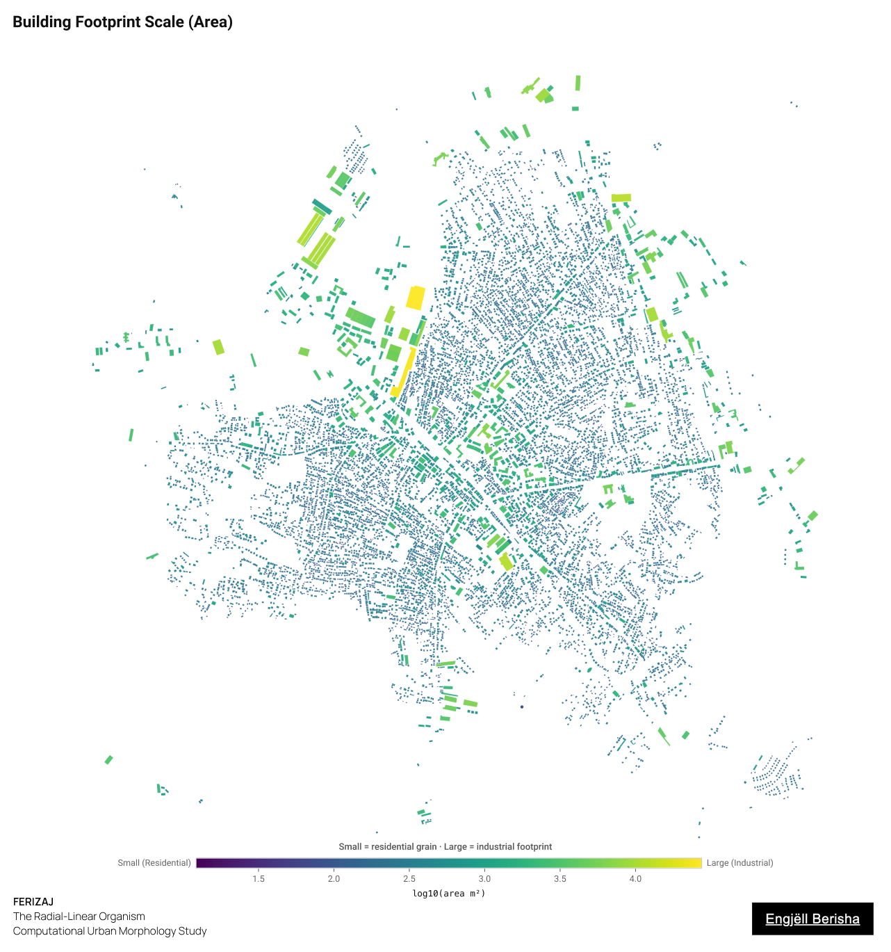
04 Building Footprint Scale
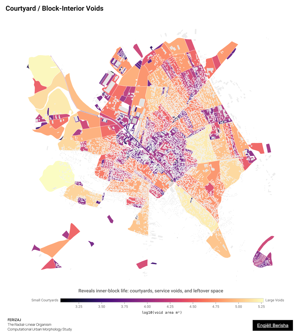
13 Courtyard Voids
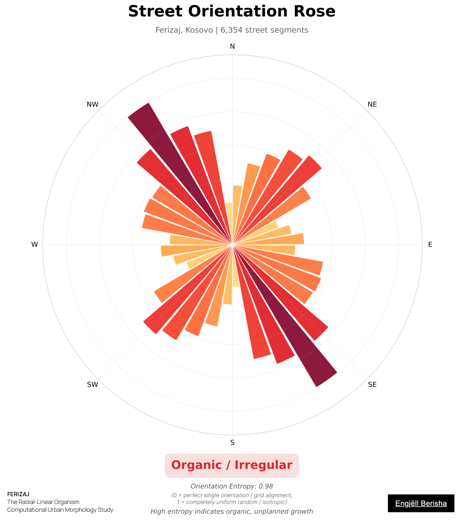
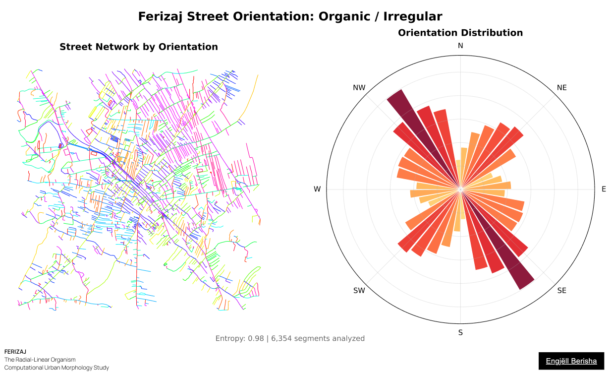
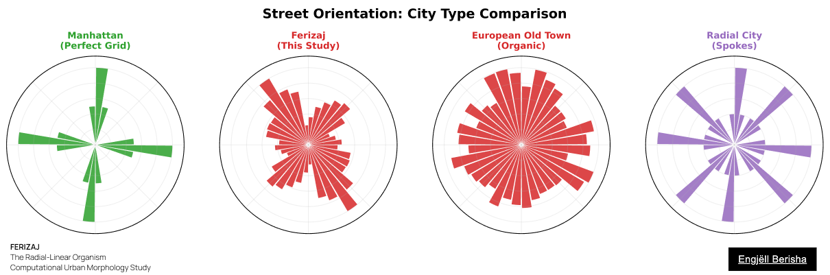
42 Street Orientation
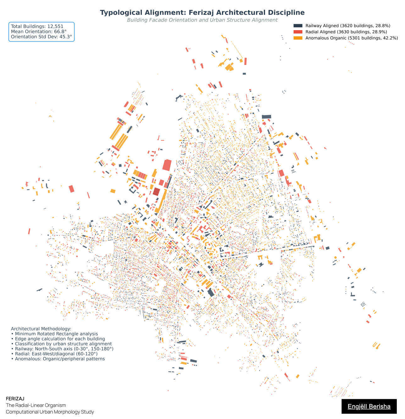
18 Typological Alignment
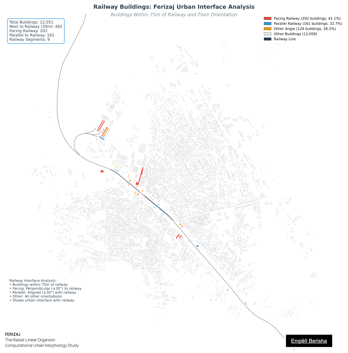
18 Railway Buildings
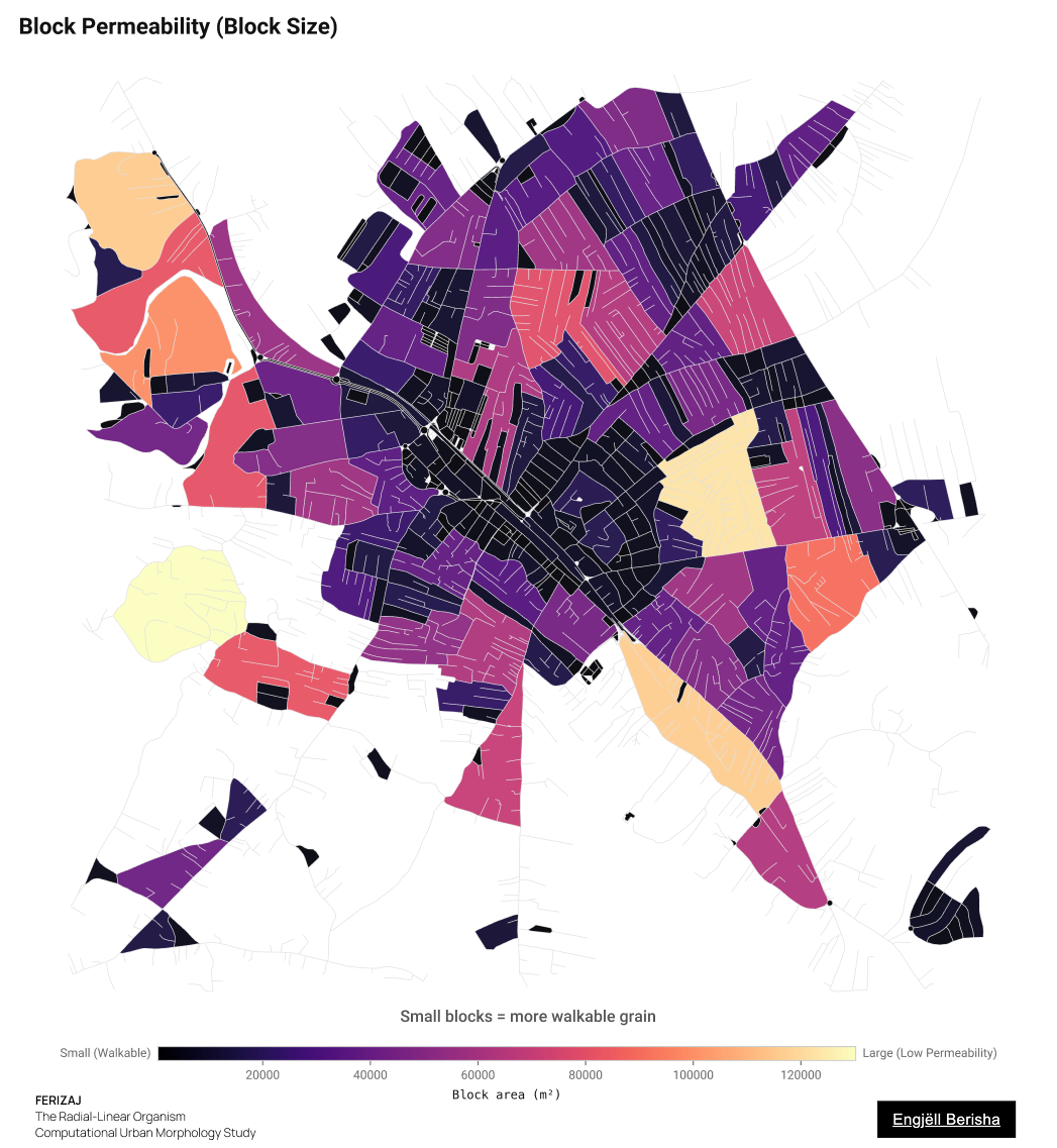
05 Block Permeability
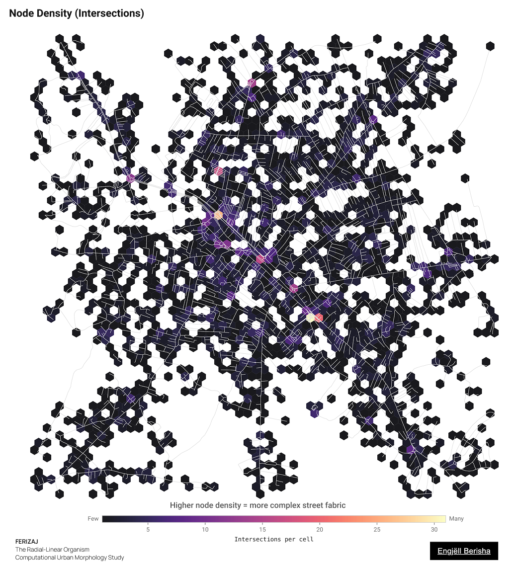
06 Node Density
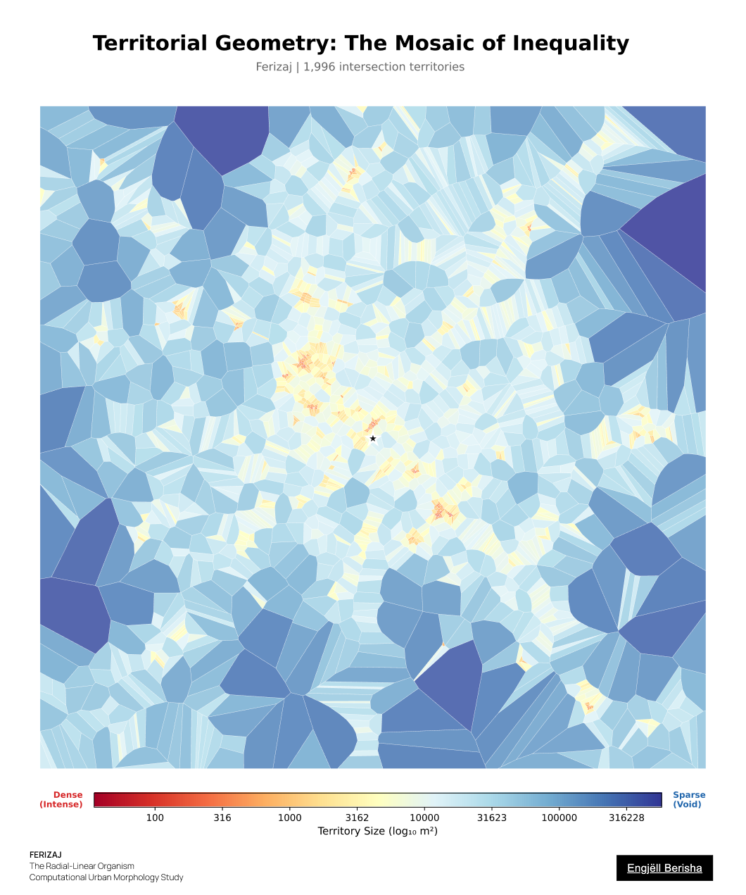
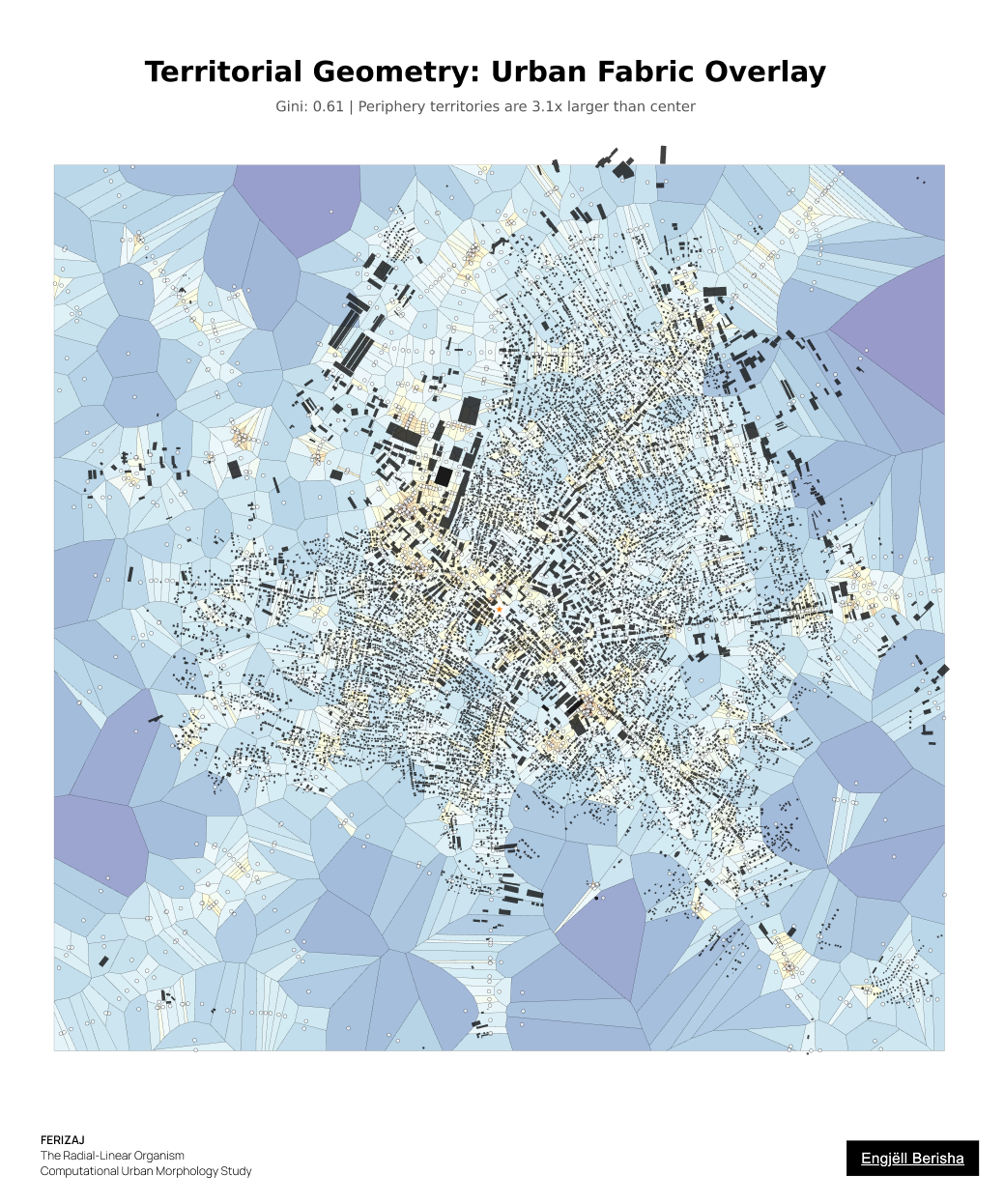
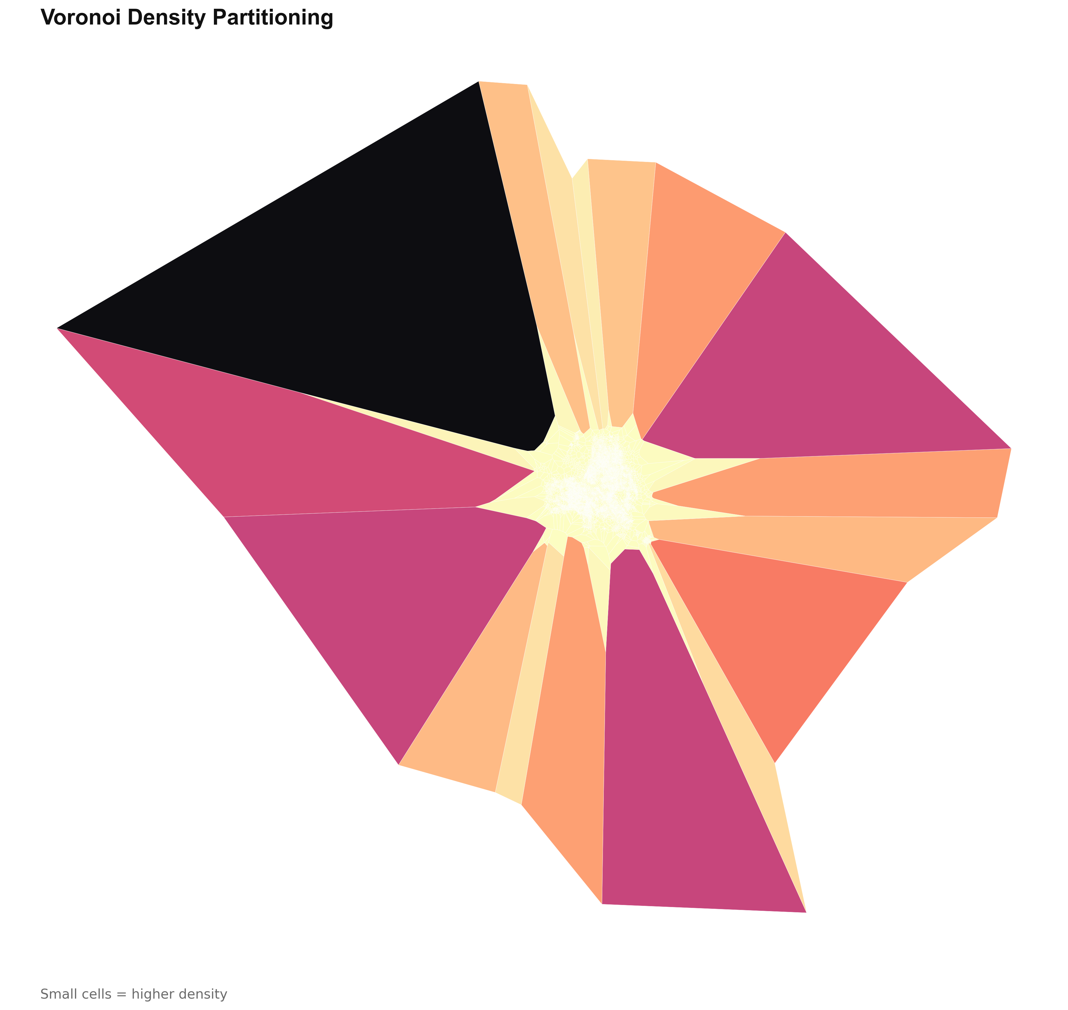
48 Voronoi Mosaic
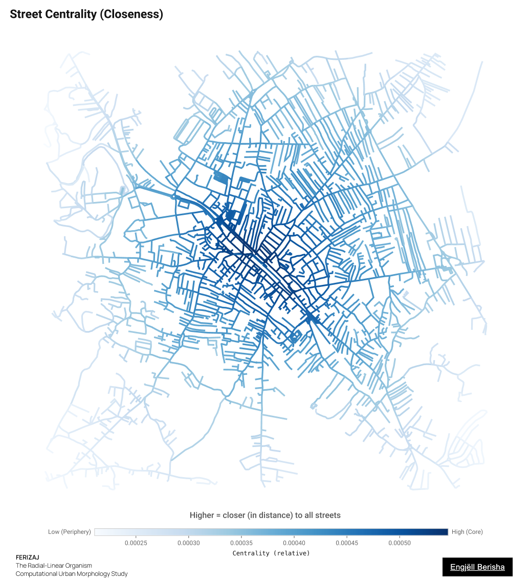
07 Street Centrality
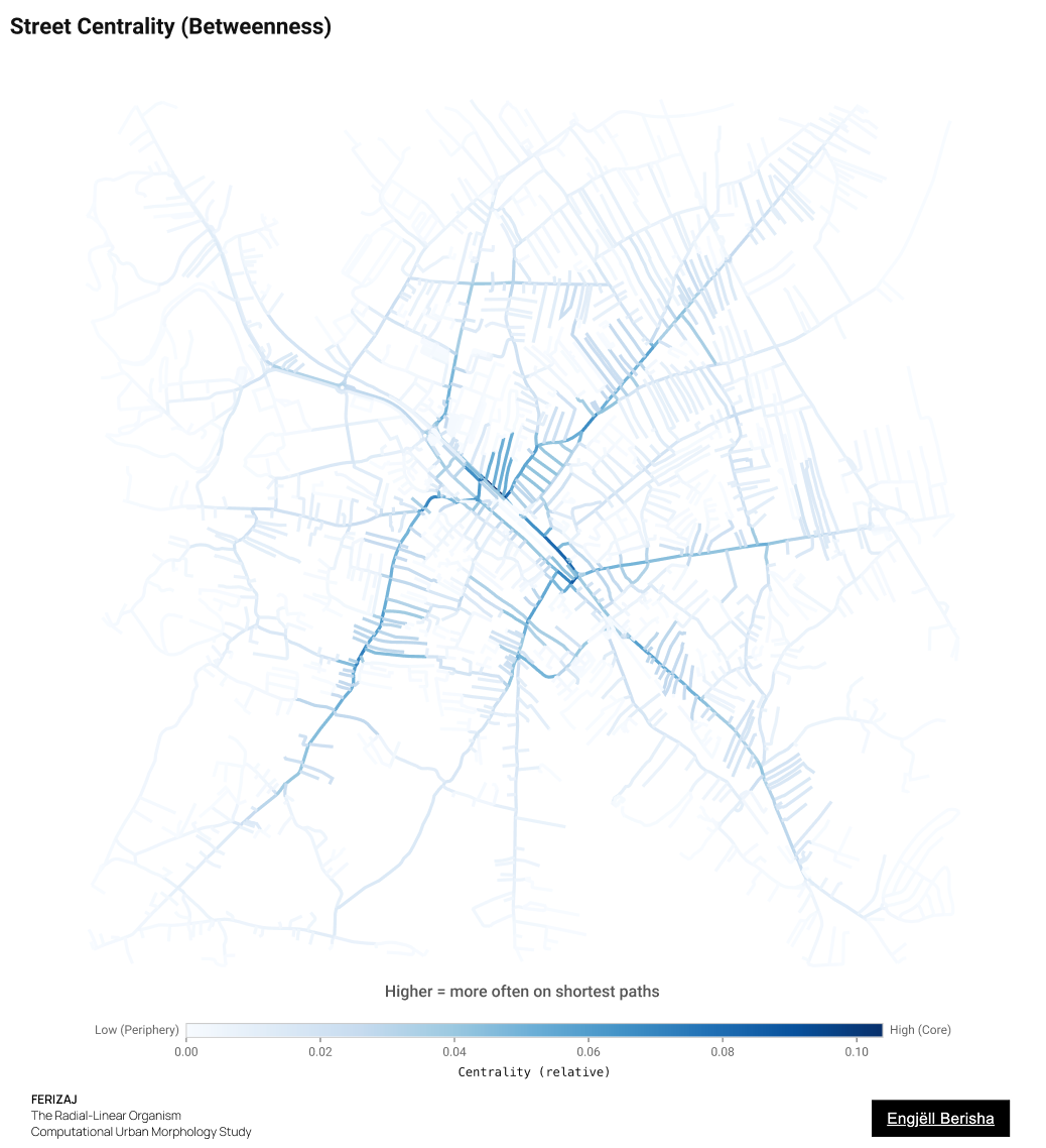
07 Betweenness
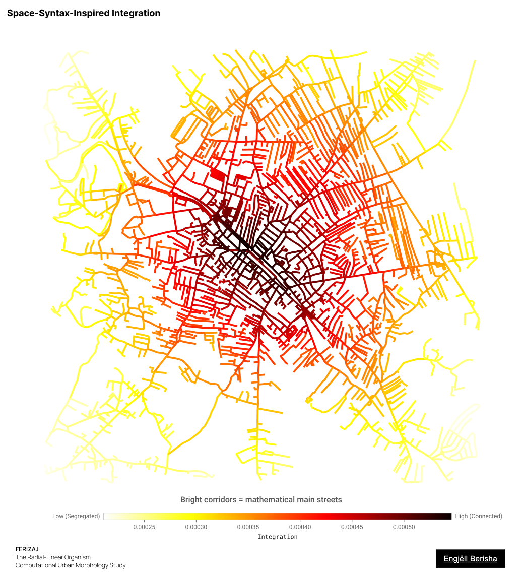
Space-Syntax-Inspired Integration
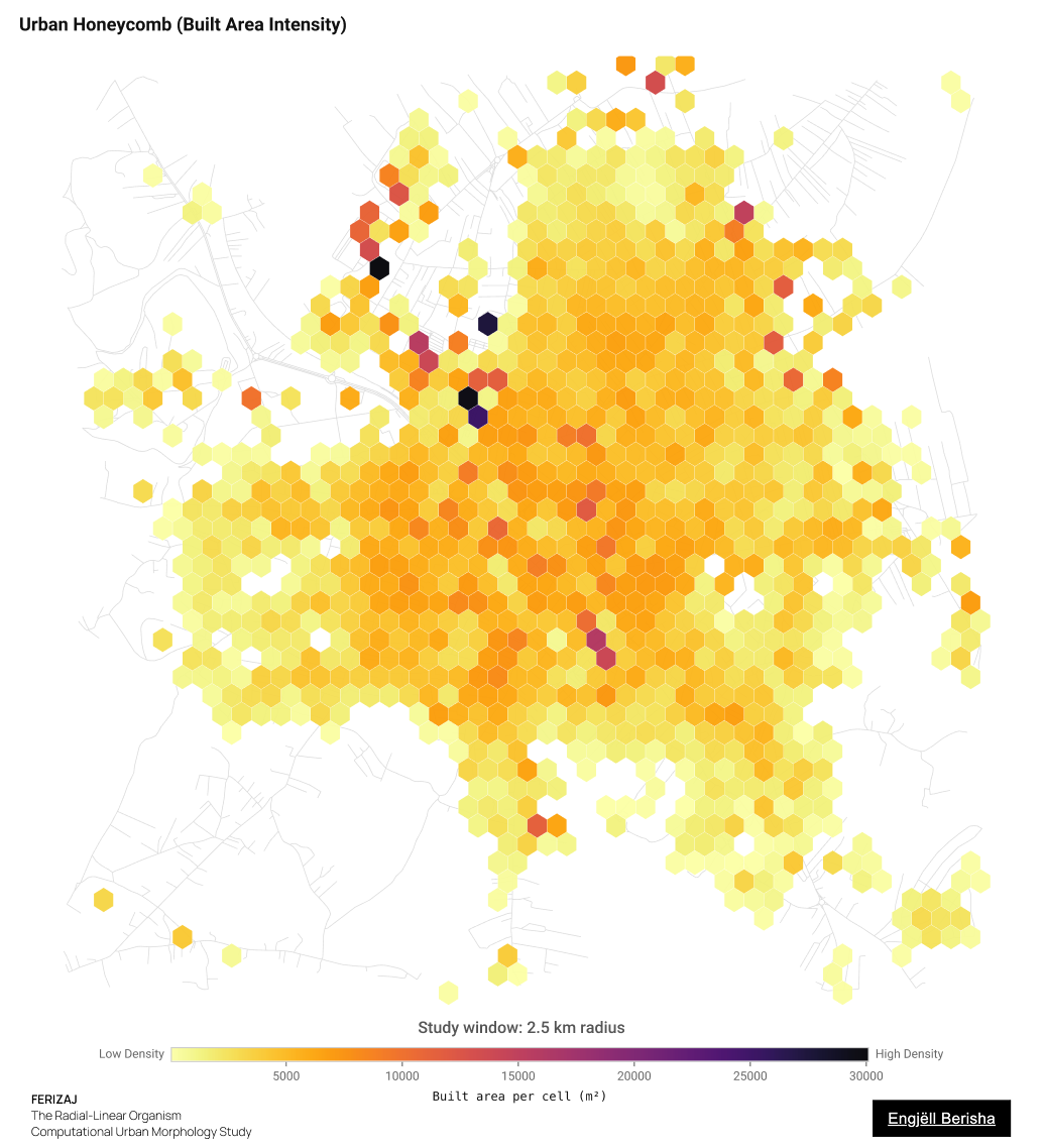
03 Urban Honeycomb
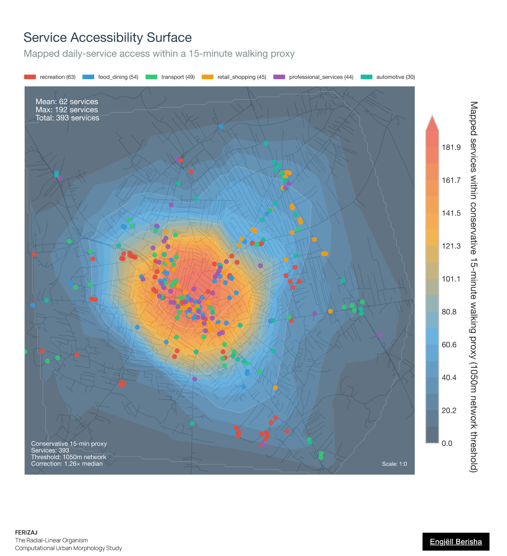
Service Accessibility Surface
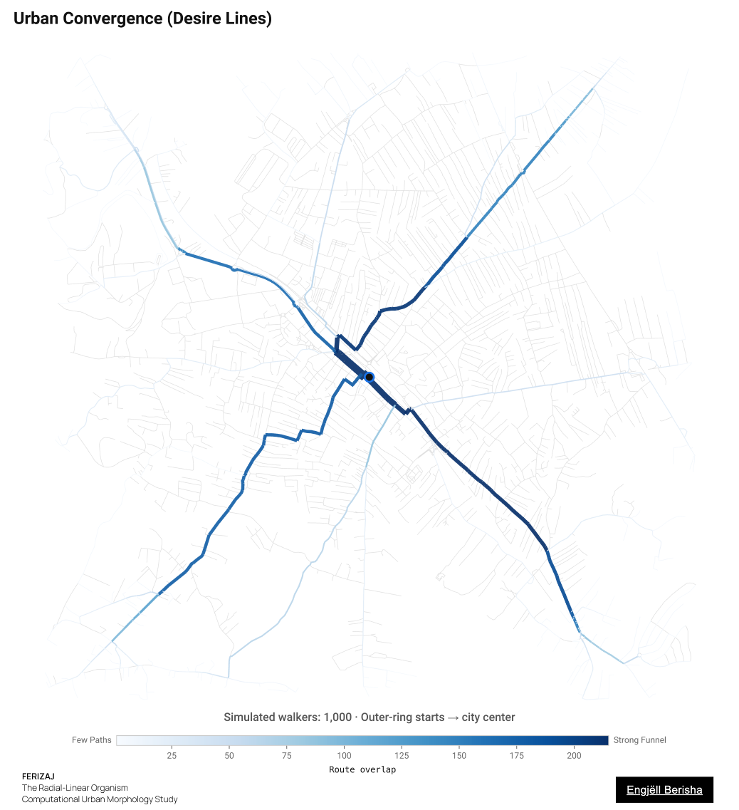
09 Urban Convergence
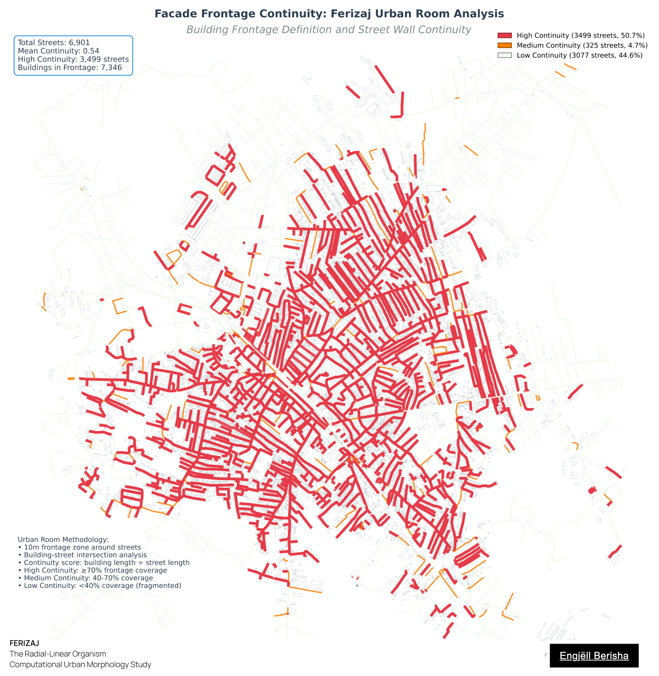
The Urban Wall
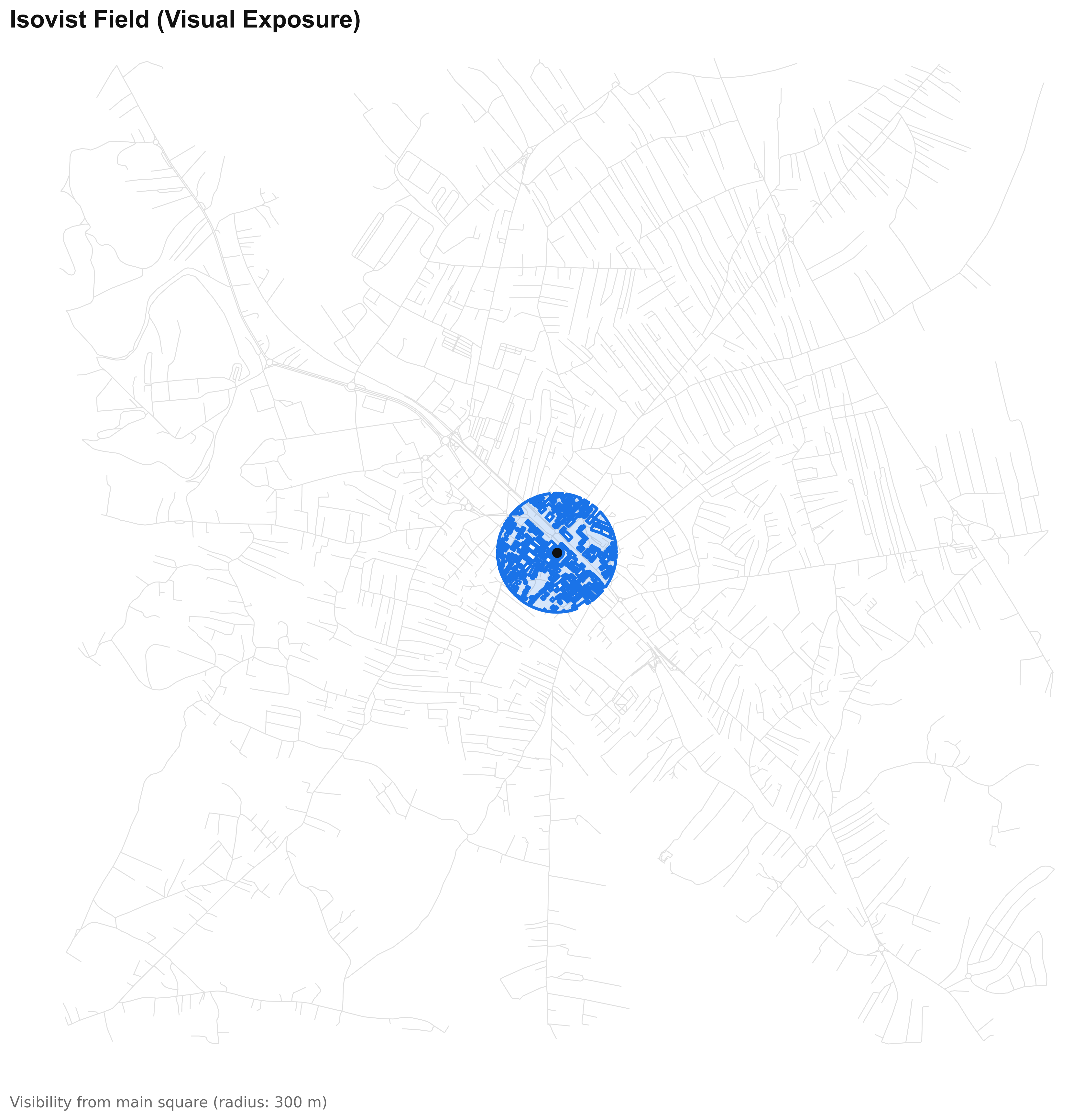
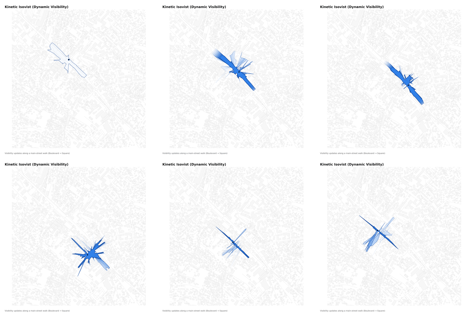
11 Isovist Field
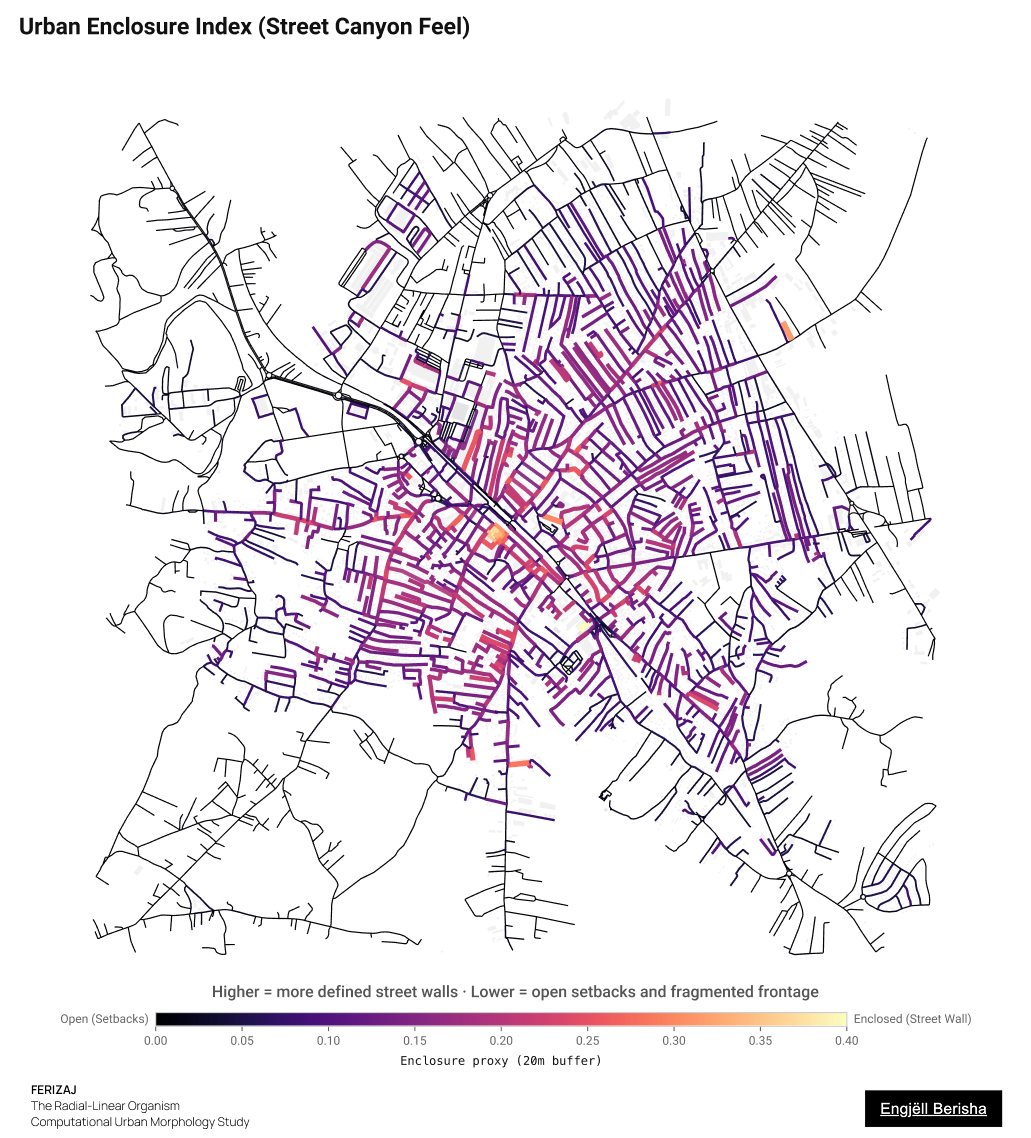
12 Enclosure Index
Research narrative
Research Frame
01 Abstract
This study examines Ferizaj, Kosovo, as a radial-linear urban organism shaped by railway infrastructure, arterial expansion, and rapid post-war densification. Using OpenStreetMap data, satellite imagery, OSMnx-based network analysis, space-syntax-inspired integration proxies, Voronoi tessellation, figure-ground mapping, isovist analysis, and service-accessibility modelling, the research constructs a computational reading of the city's fabric, structure, pulse, and spatial experience.
The findings suggest a highly integrated core surrounded by a fragmented peripheral field. The future challenge is redistribution: transforming corridors into civic canyons, voids into public rooms, and disconnected peripheral growth into a more continuous urban fabric.
02 Thesis
Ferizaj is a Radial-Linear Organism: a compact, high-intensity core structured by railway and radial corridors, but limited by weak orbital connectivity. The future challenge is redistribution: strengthening lateral links, improving frontage continuity, supporting secondary neighborhood nodes, and transforming infrastructural corridors into more continuous civic spaces.
03 Theoretical Frame
The study combines computational urban morphology (figure-ground, network centrality, Voronoi tessellation, isovist analysis) with the human-scale thinking of Alexander et al.'s A Pattern Language. Cities are understood as complex systems shaped by infrastructure, incremental decisions, and accumulated spatial feedback.
Who This Study Is For
Architects
Supports early design decisions by showing where fabric, frontage, density, voids, and movement patterns need attention.
Urban Designers & Planners
Identifies structural conditions such as weak orbital connectivity, fragmented growth, uneven services, and inconsistent public-realm definition.
Municipal Institutions
Provides a visual evidence base for discussion, not as a final masterplan, but as a starting point for further investigation and planning.
Citizens & Students
Translates technical spatial analysis into a readable civic diagnosis of how Ferizaj works and where its next layer of public life can grow.
Chapter 1
The Fabric: figure-ground, footprint scale, voids, orientation, and railway interface.
Chapter 2
The Structure: block permeability, node density, territorial geometry, closeness, betweenness, and space-syntax-inspired integration.
Chapter 3
The Pulse: built-area intensity, service accessibility, and simulated desire lines.
Chapter 4
The Experience: frontage continuity, isovist exposure, kinetic visibility, and enclosure.
Discussion
Across the paper, the figures converge on a consistent diagnosis: Ferizaj is a negotiated urban organism shaped by infrastructural discipline, radial movement, and incremental peripheral growth. Its railway and arterial system provide strong directional structure, while parcel-based expansion produces high orientation entropy, weak orbital connectivity, and discontinuous lateral movement. Morphologically, the city has strong spokes but an incomplete ring: radial corridors pull movement toward the center, while peripheral districts remain weakly connected to each other.
The strongest urban energy, measured through accessibility, movement, mapped services, density, and visibility proxies, is concentrated in the center. Closeness, betweenness, the space-syntax-inspired integration proxy, service-accessibility surface, and desire-line simulations all point toward the same condition: Ferizaj functions through a compact core and a limited number of radial corridors. This creates intensity, but also dependency. Without orbital alternatives, cross-city movement is repeatedly pulled back through the center.
The railway remains the founding infrastructure, but its urban interface remains limited and fragmented. It is present as a line, seam, and memory, yet underdeveloped as a civic edge. This makes the railway corridor one of the most important future design opportunities.
Architectural and Urban Planning Findings
This study does not propose a final masterplan for Ferizaj. Instead, it identifies spatial conditions that can guide future architectural, urban-design, and municipal planning decisions.
01 Orbital Structure
Strengthen lateral and cross-city connections so movement is not repeatedly pulled back through the central core.
02 Service Distribution
Support secondary neighborhood nodes with everyday services closer to residential areas.
03 Railway Public Realm
Treat the railway corridor as a civic edge, connecting crossings, station areas, public spaces, and active ground floors.
04 Connective Tissue
Introduce smaller block subdivisions, pedestrian passages, local streets, and clearer public-private edges.
05 Frontage Repair
Improve key corridors with active ground floors, edge-aligned buildings, shade, lighting, and pedestrian comfort.
06 Missing-Middle Density
Encourage courtyard housing, row houses, perimeter blocks, and mixed-use street buildings.
07 Useful Voids
Transform leftover spaces into pocket parks, courtyards, playgrounds, shortcuts, small squares, or green infrastructure.
Conclusion
Ferizaj's morphology reveals a city of concentrated energy and uneven distribution. Its core is intense, integrated, and rich in mapped services, while its periphery remains fragmented by weak connectivity, larger blocks, incomplete frontage, and uneven mapped access to everyday services.
The research identifies the city's main challenge as redistribution. Future growth should not only add density, but also produce connective tissue: smaller blocks, stronger orbital links, active frontage, local service clusters, and civic spaces along infrastructural corridors.
The railway, once the origin of Ferizaj's urban life, can again become a structuring device, not only as infrastructure, but as public realm. A next phase of research should pair this computational diagnosis with field observation, local planning documents, and stakeholder knowledge, testing where orbital links, frontage repair, service redistribution, and railway-edge public spaces could be most realistically implemented.
Methodological Limitations & Data Notes
All spatial data derive primarily from OpenStreetMap, using an approximate 2025 extract. Core areas are generally complete, but peripheral informal zones may have lower coverage or require manual validation. The study does not incorporate building heights or floor-area ratios, so recent vertical intensification in the core is inferred from footprint changes, satellite evidence, and density proxies rather than direct volumetric quantification.
The fixed 2.5 km radius window captures the majority of Ferizaj's continuously built-up urban area, but boundary effects influence peripheral metrics such as Voronoi territory sizes and block permeability gradients. The measurements in this study should be read as diagnostic urban indicators, not as final planning conclusions. They reveal patterns of irregularity, accessibility, movement pressure, territorial inequality, visibility, and frontage continuity within the study window.
Service-accessibility results should be interpreted as an open-data accessibility proxy rather than a complete commercial or institutional census. The service surface is based on an expanded OpenStreetMap POI extraction, and the conservative 15-minute walking threshold is used as an accessibility proxy, not as a claim that the entire 2.5 km study radius is walkable in 15 minutes.
Publication
DOI: https://doi.org/10.5281/zenodo.20076658
Official English version of the study.
Adapted Albanian translation of the original published study; not a separate publication.
Recommended citation: Berisha, E. (2026). Ferizaj: The Radial-Linear Organism. A Computational Urban Morphology Study (Version 1.0). Zenodo. https://doi.org/10.5281/zenodo.20076658
References
Batty, M. (2013). The New Science of Cities. MIT Press.
Boeing, G. (2017). OSMnx: New methods for acquiring, constructing, analyzing, and visualizing complex street networks. Computers, Environment and Urban Systems, 65, 126–139.
Boeing, G. (2019). Urban spatial order: Street network orientation, configuration, and entropy. Applied Network Science, 4, 67.
Elezi, K., & Sadiki, A. (2019). Architectural reflection in Ferizaj: from Eclecticism to the new vawe [sic] of Modernism. UBT International Conference, 244.
Hillier, B., & Hanson, J. (1984). The Social Logic of Space. Cambridge University Press.
Jacobs, J. (1961). The Death and Life of Great American Cities. Random House.
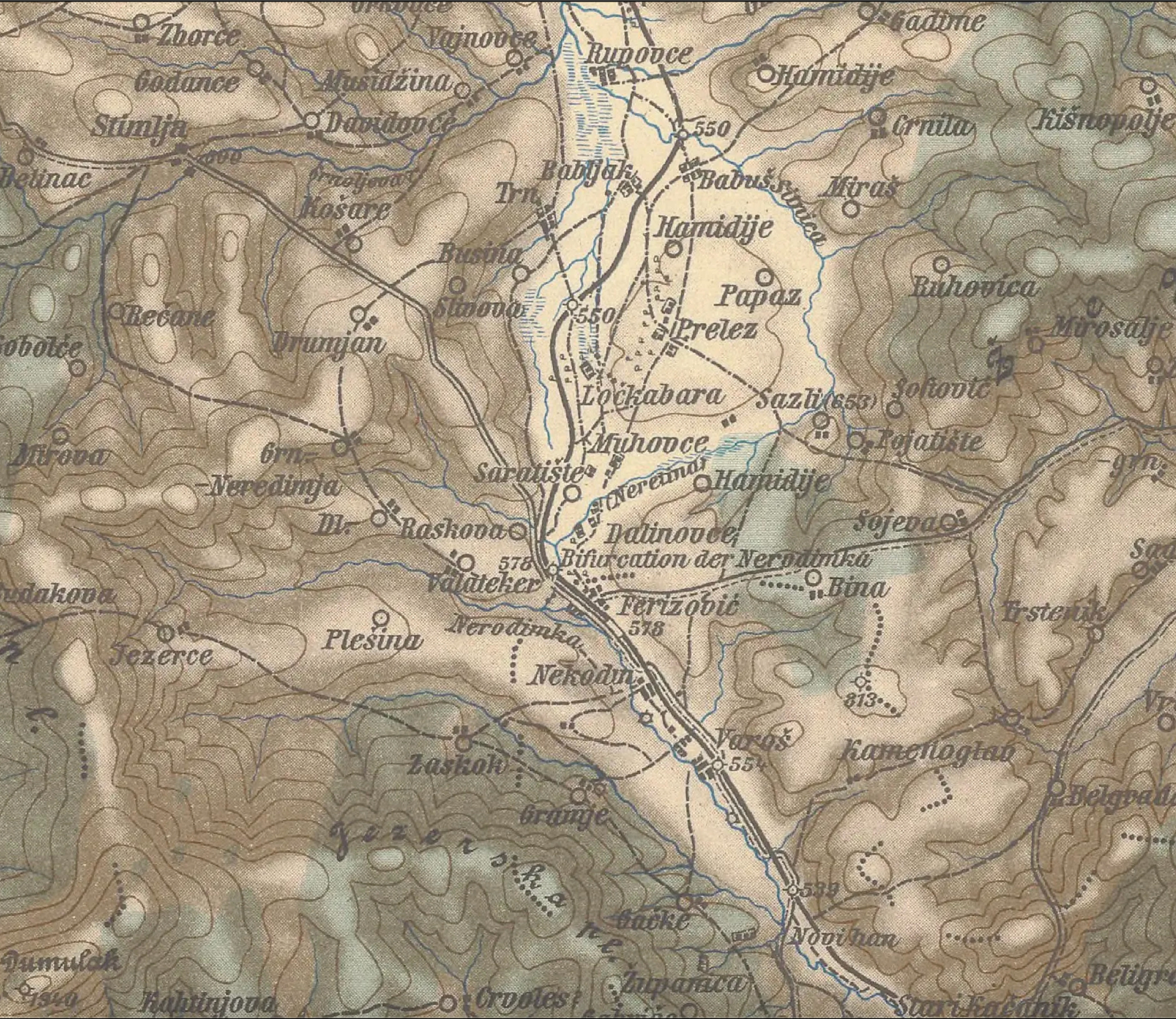
K. u. k. Militär-geographisches Institut. (1898). 39°42° Skoplje [Map]. Univerzita Karlova v Praze.
Kosovo Agency of Statistics. (2024). Population census data for Ferizaj Municipality. Kosovo Agency of Statistics.
Lynch, K. (1960). The Image of the City. MIT Press.
Moreno, C., Allam, Z., Chabaud, D., Gall, C., & Pratlong, F. (2021). Introducing the "15-Minute City": Sustainability, resilience and place identity in future post-pandemic cities. Smart Cities, 4(1), 93–111.
OpenStreetMap contributors. (2025). OpenStreetMap data for Ferizaj, Kosovo. Retrieved via Overpass API.
Collins, G. R., Flores, C., Soria y Mata, A., & Soria y Puig, A. (1968). Arturo Soria y la Ciudad Lineal. Madrid: Revista de Occidente.
Trancik, R. (1986). Finding Lost Space: Theories of Urban Design. Van Nostrand Reinhold.
USGS. (2024). Landsat Collection 2 Level-2 Science Products. Retrieved through Google Earth Engine.
USGS EarthExplorer. (n.d.). Declassified CORONA satellite imagery. United States Geological Survey.